Your Cart is Empty
shop


Gear on sale
Check out our latest sale discounts - save on bikepacking bikes and gear.
Stuck for a gift?
Delegate that tough decision with a Good Rotations gift card. Choose from several denominations, depending how much they deserve it :-)
collections

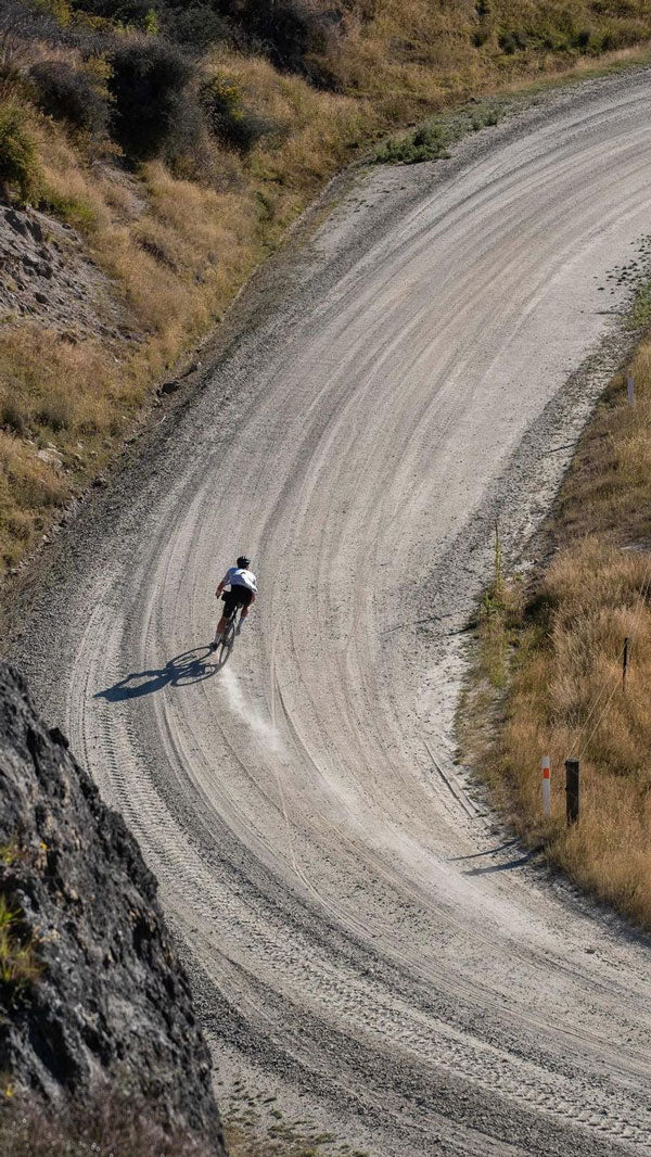


Gravel Riding
Escape the tar seal - gear & bikes for riding light and fast
Day Missions
The essentials for long and short forays tackled in a single day
Brevet & Ultra
Gear for riding and racing brevets and ultras – fast, far and light


Thomson, Manuherikia, Melina


Info
-
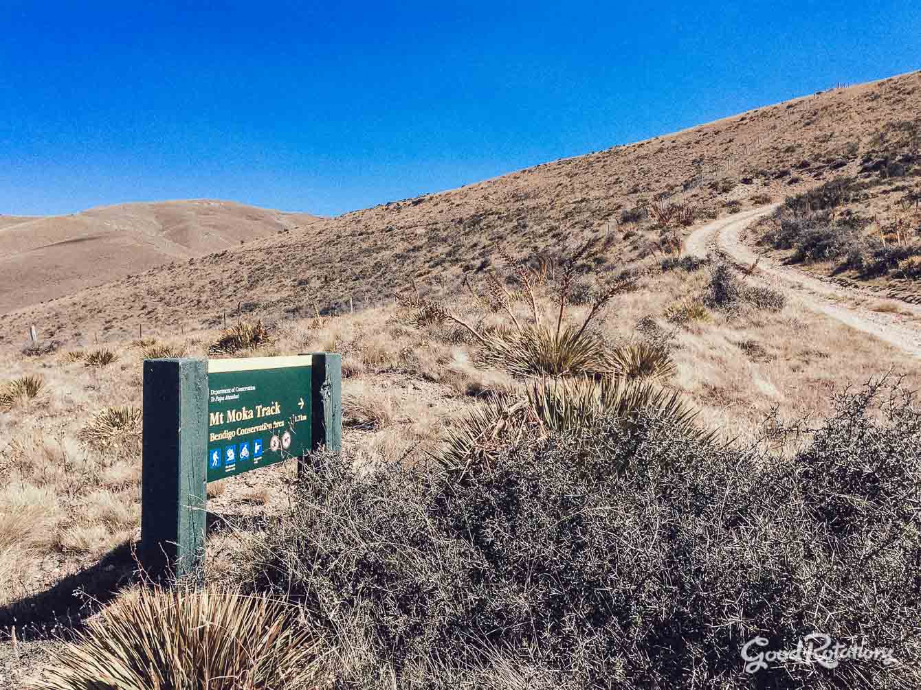
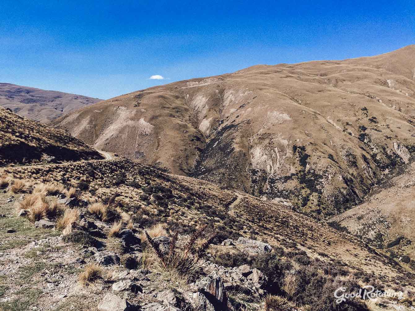
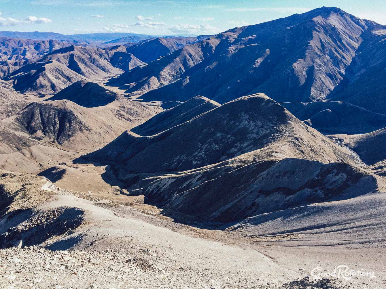
Crossing 3 passes with great views of the region
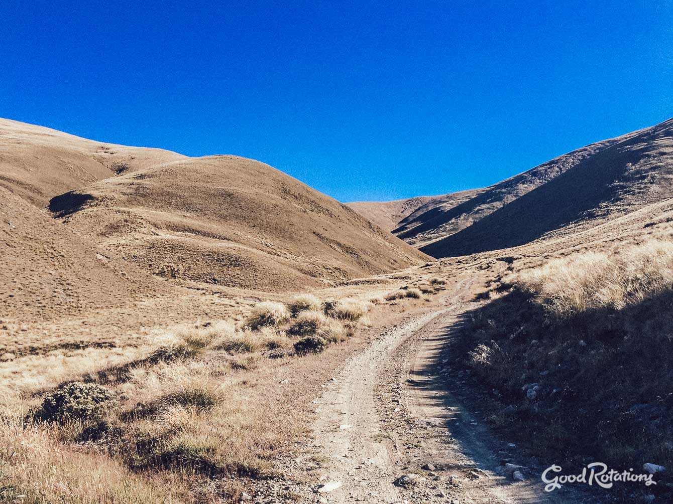
It’s a loop! And mostly off-road.
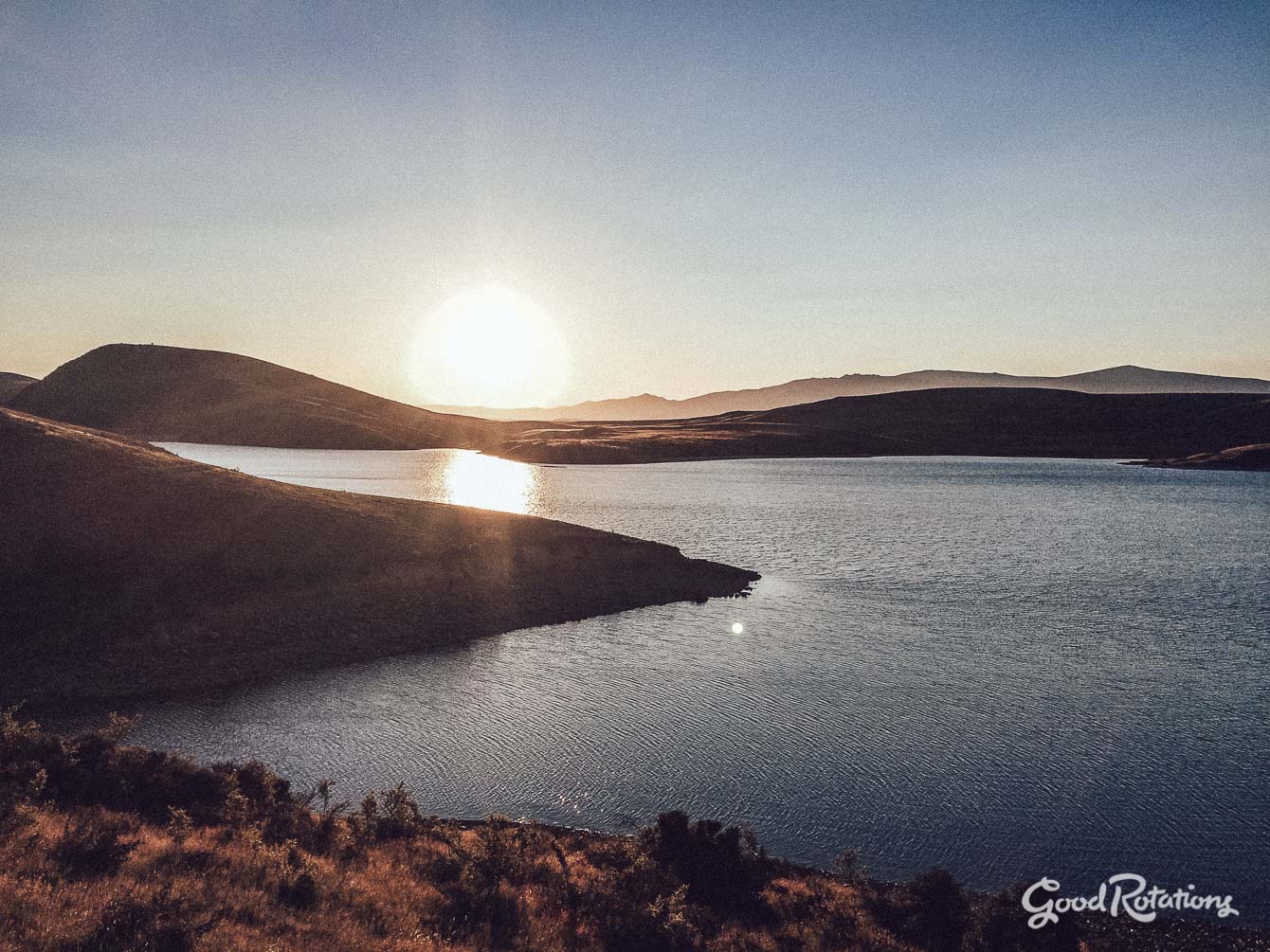
Cooling off in a fine swimming hole on the Ahuriri River
Earning the long and wild descent off Mt Melina
-
This loop starts and finishes at Albert Town opposite a great DOC
campground, but you could start/finish at various access points on the
route: Tarras, Alexandra, Omarama.The route crosses several passes which can be prone to high winds
and nasty weather and extremes of temperature – so come prepared for
anything! -
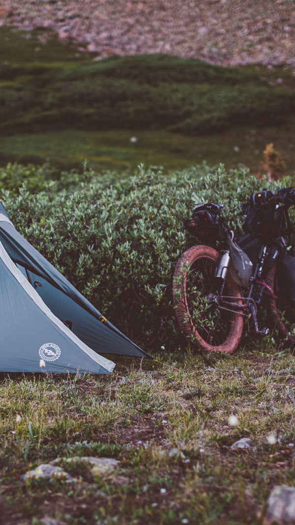
There are great camping opportunities on all the off-road sections (some of the best and logical spots to camp to break the trip into 3 days are shown on the map above).
There is a great if tiny rustic hut on the east side of the Thomson
Saddle (marked on map). It has a straw floor and is weather tight – good in a storm or cold night.Good huts exist in the Manuherikia East Branch, including a large shelter at the old homestead at the end of Hawkdun Road.